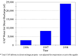
| Figure 3-10 CAP water deliveries to direct recharge projects in
the Tucson AMA* (Acre-feet) 27 |
 |
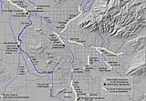
| Figure 3-11 Recharge projects. 27 |
 |
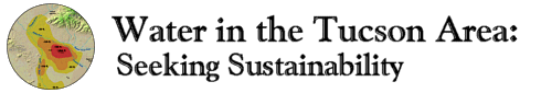
| Figure 3-12 Movement of recharged water through the aquifer
29 |
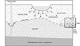 |
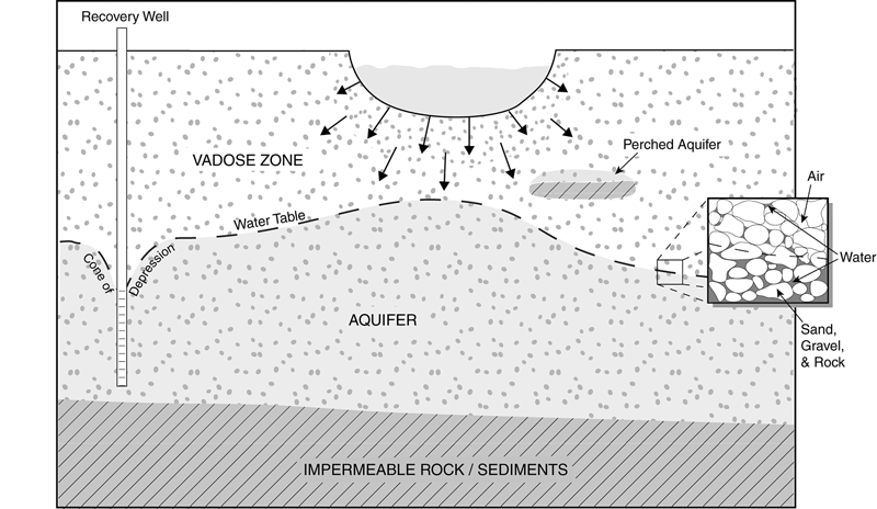
Figure 3-13 The Pacific Northwest Water Plan of the 1970s
proposed bringing water from Canada to a wide region including
Arizona.
Photo: Barbara Tellman 30 |
 |
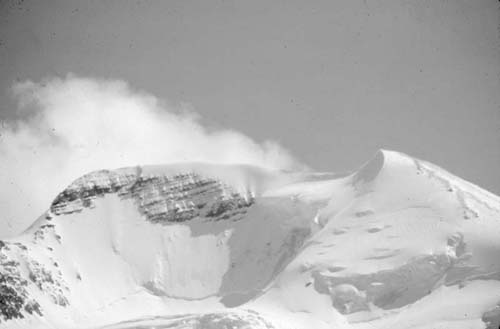
Figure 3-14 Cistern installed as part of a graywater reuse
system.
Photo: Val Little. 32 |
 |
Figure 3-15 A do-it-yourself water harvesting system collects
rain from roof for use to irrigate a home garden.
Photo: Barbara
Tellman 33 |
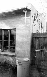 |
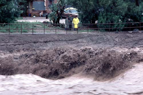
Figure 4-1 Observers watching the 1983 flooding of the Santa
Cruz River in area just north of St. Mary�s bridge.
Photo: Peter
Kresan� 35 |
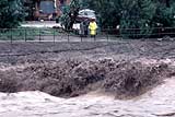 |
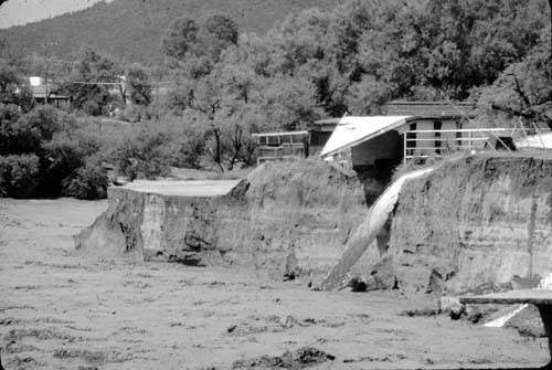
Figure 4-2 The 1983 Flood destroyed homes along the Rillito
Creek at First Avenue.
Photo: Peter Kresan� 36 |
 |
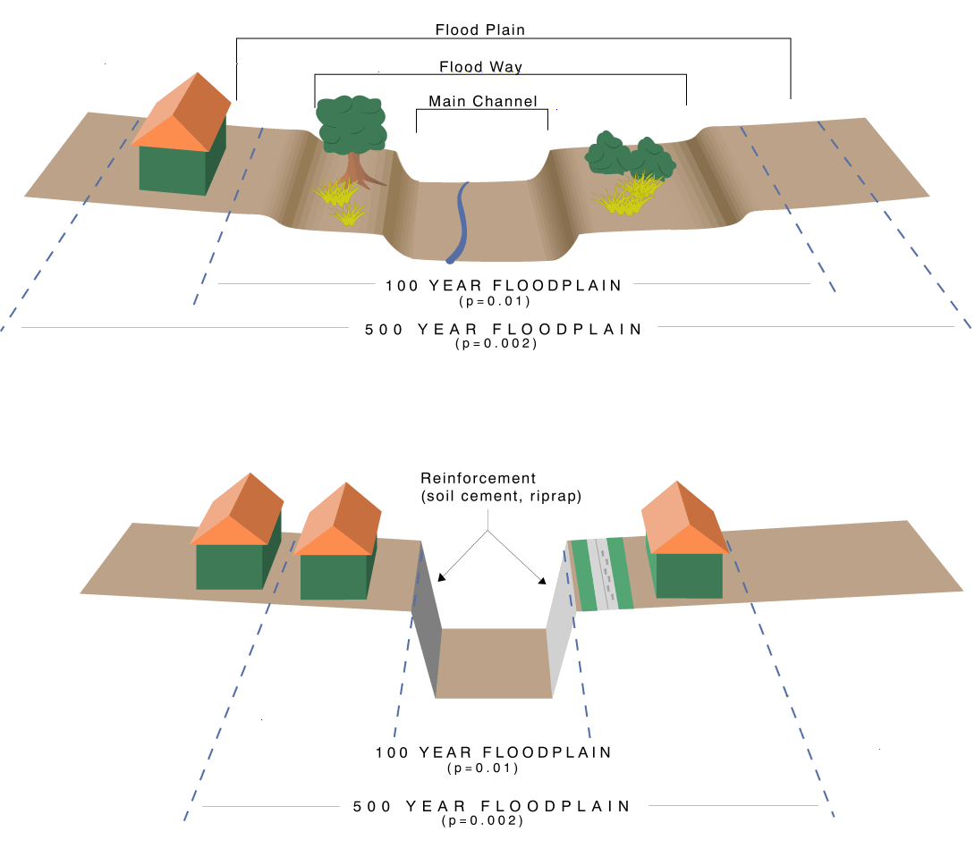
| Figure 4-3 Effects of bank protection on a riverbed. 37 |
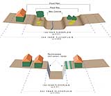 |
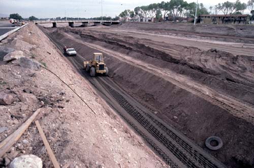
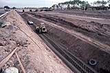
Figure 4-4 Bank stabilization structure under construction west
of Campbell Avenue.
Photo: Peter Kresan� 37 |
 |