|
|
IERE is pursuing the use of GIS (geographic information systems) to support efforts on the island in conservation, environmental studies, and plannning. Data on elevation, land use, soil type, and metal contamination may be combined in the GIS system to aid in assessing potential remediation stategies for the heavy metal contamination on the island.
Some "pictures" of data for Vashon and Maury Islands can be viewed by following the links below:
Land use data in map view (from: National Land Cover Data - USGS for Washington State) View / Link to data source at EPA
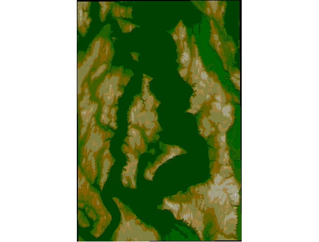
Elevation data presented as a surface (from USGS) View /
Land use data draped over the elevation surface View /
Vashon and surrounding area - elevation map view View /